

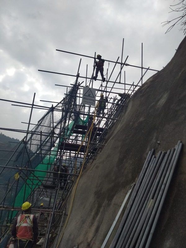
- Rockfall protection
- Slope stabilization
- Landslide mitigation
- Avalanche protection
- Groundwater management
- Earth anchor supply and installation
- DTH anchor drilling up to 50 m
- Nature-based landslide stabilization
Capabilities
Four service lines that run from the first borehole to long-term monitoring.
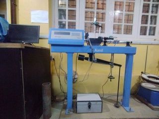
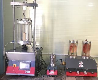
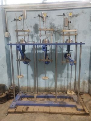
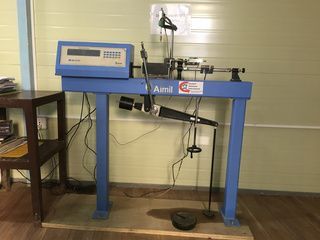
Moisture content, density, specific gravity, grain size (sieve and hydrometer), Atterberg limits, direct shear, triaxial, unconfined compression, consolidation, permeability (constant and falling head), shrink-swell, Proctor compaction and CBR.
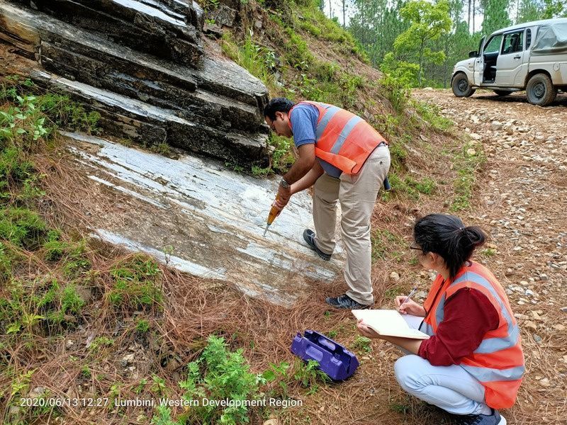
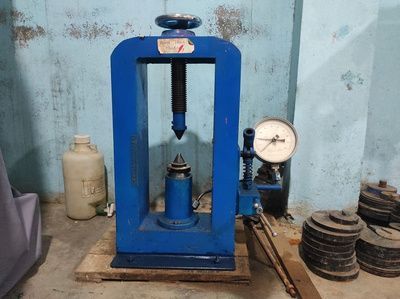
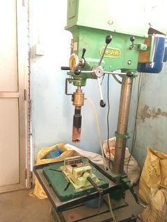
Point load strength, UCS, rock triaxial, slake durability, water absorption, porosity, specific gravity and unit weight.
Sieve analysis, specific gravity, water absorption, bulk density, Los Angeles abrasion, ACV, AIV, flakiness and elongation index.
Penetration, softening point, Marshall stability and binder content.
Fineness, consistency, setting time, soundness, specific gravity, flow table, compressive and flexural strength, slump, air content, permeability and mix design.
Electrical Resistivity Tomography (ERT), Seismic Refraction Survey (SRT), Micro-Tremor Array Measurement (MAM) and Vertical Electrical Sounding (VES).
Surface deformation prediction for cut slopes; landslide monitoring for roads, hydropower, tunnel alignments and high dams; urban land subsidence.
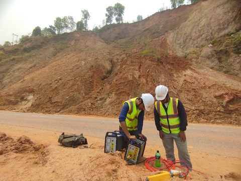
In-house capacity
Owning the equipment means the data behind every design is ours, and work starts when the site is ready.